
Walk a North Ogden Address Trail
The most reliable way to search by street is to walk one address through records in a fixed order. Start with the complete North Ogden address in Weber County Parcel Search. Capture the parcel number, situs or property location, owner name as displayed, mailing address, tax area, and legal-description clue. Then use the Recorder index or document-order form, check the voter route only when its public fields fit the question, and compare a historical directory if the date is old.
Keep the roles apart. The parcel result may identify a titled owner or tax contact. The voter record may identify a registrant at a data moment. The deed index names parties to an instrument. A city directory names someone listed in a publication year. Those are useful links in a street directory, but none alone proves who is inside a house today.
- Enter the full address with USPS-style AVE or ST suffixes.
- If it fails, retry the house number alone, then inspect candidate parcels and streets.
- Save the parcel number and compare situs, mailing, and legal-description fields.
- Order the relevant deed or plat by document number, book/page, or survey number.
- Add voter, directory, newspaper, or city-record evidence only with its date and role.
North Ogden Parcel Search by Street
Parcel Search accepts a complete address, but the research notes a practical fallback: enter only the house number when street suffixes, older names, or formatting block a result. Owner Search favors a last name, and Parcel Number Quick Search uses a nine-digit Book/Page/Parcel form. A partial parcel can draw a related series. Use those modes to find the stable key, then return to the address before stating that a property belongs to North Ogden.
| Search input | How it behaves | Street use |
|---|---|---|
| Complete address | Text field with USPS abbreviations | Best first match for a situs address |
| House number | Fallback when a full address fails | Discovery only, not final proof |
| Owner last name | Last name works best; trusts and spouses may appear | Find an owner candidate |
| Parcel number | Nine-digit Book/Page/Parcel; partial series allowed | Carry the key into Recorder research |
Data from the portal aggregates Assessor, Recorder, and Treasurer sources. A tax notice may show value, classification, tax area, and taxing entities. Those facts explain fiscal context on a street. They do not certify title, legal boundaries, current occupancy, or a complete resident list.
North Ogden Street Directory Fields Differ
North Ogden street records use several address identities. A USPS delivery address is for mail. A municipal address places a property within city administration. A parcel situs or property location identifies the physical tract in county records. A tax mailing address sends a notice. A legal description describes the land through recorded lot, subdivision, course, or boundary language. One line can hold more than one of these, but the labels should not be swapped.
- Parcel
- A county tax unit tied to land, not a list of all household members.
- Situs address
- The physical location attached to a parcel record.
- Plat
- A recorded map showing lots, roads, easements, or common areas.
- Criss-cross directory
- A historical directory arranged by address or street so a household can be found without a surname.
When a street result conflicts with a city or ZIP result, preserve both labels and the source date. A postal city of Ogden can serve a North Ogden address. A mailing address can sit outside the parcel. The legal description may outlast a street renumbering. This small discipline prevents a North Ogden street directory from turning a property clue into an unsupported resident claim.
North Ogden GIS Layers to Check
The Weber County Geo-Gizmo lets a researcher place a street among parcel labels, roads, tax units, city and county boundaries, zoning, community layers, hazards, recreation, and other services. The county GIS REST directory names parcel, parcel-label, tax-unit, zoning, road-hazard, boundary, and related services. For a long street, the map helps identify each parcel to inspect rather than treating the road as one record.
The Interactive Survey Map adds survey and monument context, but the county says not all Surveyor records are online. Parcel lines are a visual representation of tax maps and legal descriptions. A licensed survey and recorded legal description control a boundary question. The map is strongest as a navigation and comparison tool.
Note: Record the map date, layer name, target parcel, and approximate-data warning whenever a GIS view supports a street statement.
North Ogden GIS Is Not a Survey
A map line can look exact while still being approximate. Weber County’s planning materials label Geo-Gizmo data unofficial, and the survey viewer warns that its record set is incomplete. The Recorder’s parcel map and legal description provide the recorded framework. A survey provides technical boundary evidence. Those layers can point to the same North Ogden lot while serving different purposes.
Survey monuments also have safety and permit limits. The county notes that damage or removal can bring a $1,000 civil penalty plus costs, and a permit should be obtained five business days before work. Street research should stay at the public-record level. Do not enter a parcel or disturb a monument to settle a map question.
Deeds Behind North Ogden Streets
The Recorder holds deeds, trust deeds, liens, plats, surveys, and other instruments. An address trail that reaches a deed should keep the recording date separate from the signing date. Search with the parcel number, document number, book/page, survey number, or legal description. The document order form asks for a description, requester details, contact fields, certification, and one of those search references. It lists a 3 to 5 business day estimate, $1 per page, a $2 credit-card charge, check payment, and electronic delivery after the order and payment route.
Recorder recording requirements include original signatures, acknowledgment or notary, a legible title, complete legal description, tax parcel number, and tax mailing address. A tax-notice description is not guaranteed to be a legal description or accurate ownership statement. If a street question becomes a title question, route it to the Recorder or Surveyor rather than relying on a screenshot.
The paid Abstract Title subscription is another access channel for broad title work. Its registration asks for name, phone, company, street, city, state, ZIP, email, and account duration. The listed quarterly prices are $150, $300, $450, and $600 for one through four quarters. Targeted orders may be a better fit for one street address.
The Recorder document-order page shows the reference and requester fields used to move from an index result to a copy.
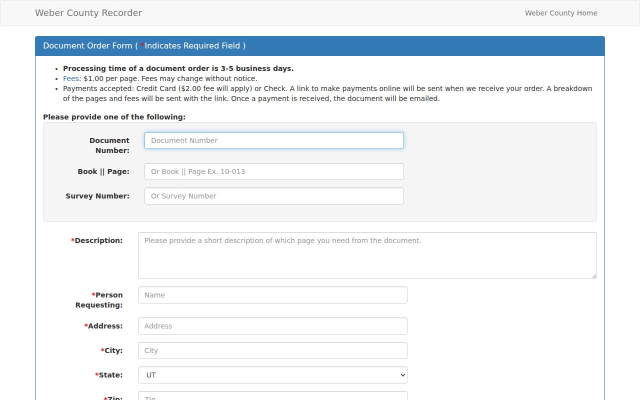
Use that form only after a parcel, document, book/page, or survey reference has narrowed the request.
North Ogden Plats and Addresses
Recorded plats reveal subdivision lots, dedication roads, common areas, and legal relationships that a formatted address can hide. Weber County provides online PDF plat paths and notes that county staff assign, correct, and verify county addresses, while incorporated areas may keep their own addressing departments. For a North Ogden municipal address or permit question, city planning and building contacts are the more direct route.
The 2024 North Ogden annexation ordinance is a useful local example. It describes municipal geography through parcel identifiers and legal descriptions around 1400 North and Washington Boulevard, not through a new ZIP. An annexation can change the city layer while leaving the postal code alone. For a street directory, save the ordinance, parcel, and address as separate evidence.
North Ogden Tax Clues Along Streets
A Weber County tax notice can model the fields a street researcher may encounter: parcel number, property location, tax area, property type, market value, taxable value, assessment classification, taxing entities, and contact routes. The sample research notice is not a North Ogden parcel card and not a claim about the sample location. Primary residential assessment is described at 55 percent of market value, while non-primary property is described at 100 percent under the notice’s rules.
For a North Ogden question, values and greenbelt go to the Assessor at 801-399-8572. Ownership, address, tax unit, and legal description go to the Recorder at 801-399-8441 or Surveyor at 801-399-8020. Tax balance and payment go to the Treasurer at 801-399-8454. The address trail stays accurate when it names the field before drawing a conclusion.
ZIP Checks for North Ogden Streets
ZIP 84414 is paired with North Ogden and Pleasant View in a Weber County 2018 table. USPS may return Ogden as the postal city. The USPS ZIP Lookup asks for street, city, and state, so use a complete address and preserve the returned wording. Do not “correct” a postal result into a municipal claim.
Utah UGRC ZIP polygons are approximate mail geography. They do not define city limits, a parcel, a school area, or a resident. Check the county GIS boundary and any annexation record when a street sits near an edge. Once the ZIP is verified, the address record remains the better key for a parcel or deed search.
Historic North Ogden Street Records
When a modern address has no clear match, add older sources in a deliberate order. Historic tax plats can show page-level parcel evolution, but coverage varies by book and year. Sanborn finding aids list North Ogden sheets 1 through 15 on reel 26/2 and sheets 16 through 30 on reel 26/3, although exact sheet years were not located. The map is a building and fire-insurance context, not a title record.
Printed Polk directories add a household snapshot. The 1883 sample uses “bet.” for between streets and “cor.” for corner, with initials, roles, employers, and lodging references. Later catalog runs explicitly include North Ogden. Newspapers can bridge a deed or directory gap, but the library notes title and date gaps, including Standard-Examiner gaps from 1920 to 2002. The historical collection details live on the North Ogden directory book page.
The historic tax-plat search provides book-and-page year links for older parcel context.
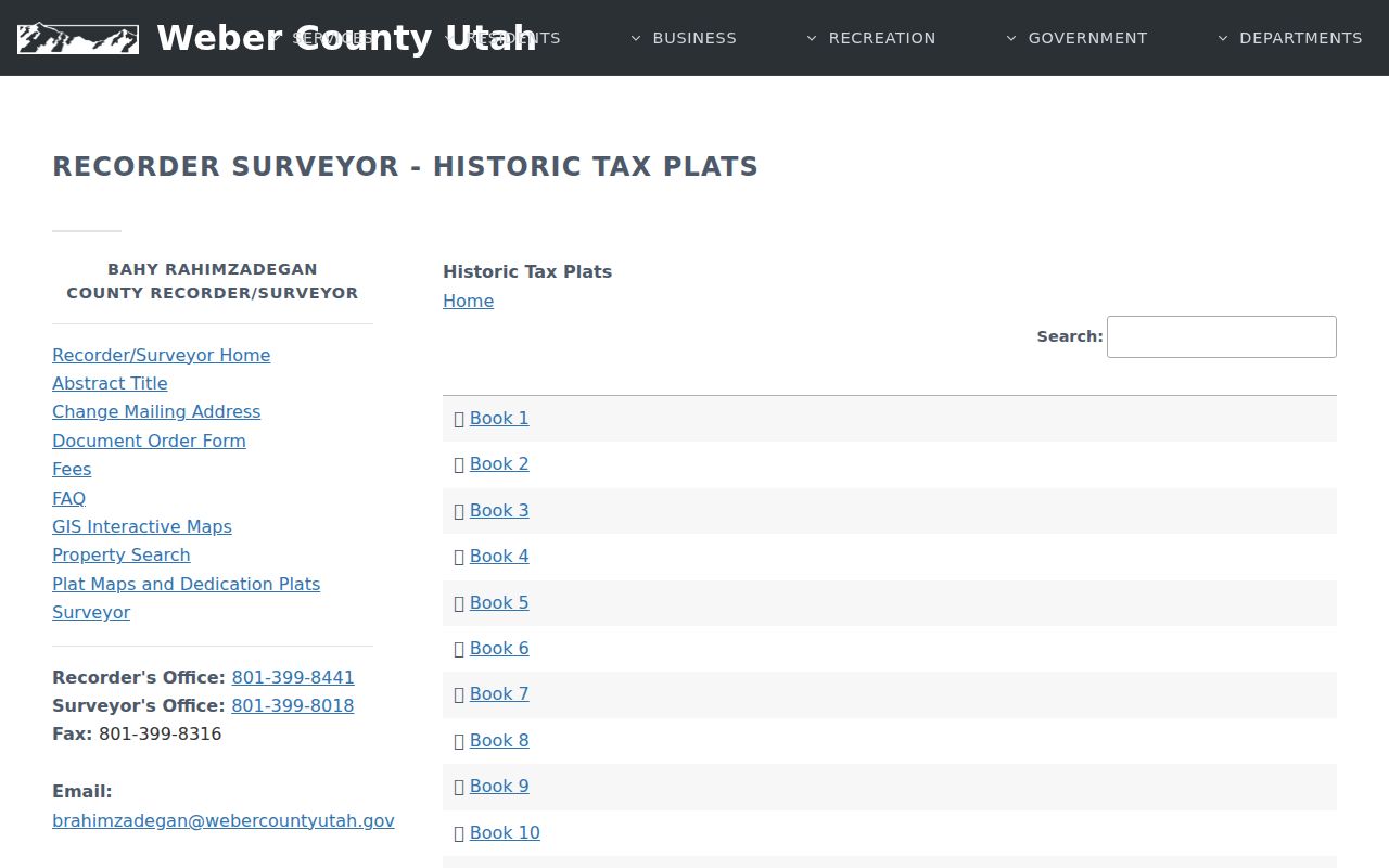
Book and page coverage is uneven, so a missing year should stay marked as unknown rather than filled by guesswork.
What a North Ogden Street Directory Cannot Show
A street directory cannot show every person who lives in a house. Renters, children, guests, protected voters, and household members may not appear in the property or voter fields. A deed names a party, not an occupant. An HOA page describes governance, not its members. A public meeting identifies a role on a date, not a home address. Even when several sources align, state and local classifications, stale data, and source gaps remain.
The Interactive Survey Map makes the approximate-boundary warning visible beside the parcel layers.
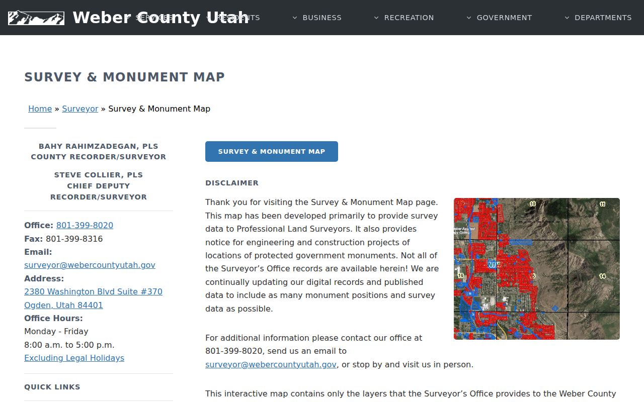
That warning is why a street directory should report a geographic clue and defer boundary claims to the Recorder, Surveyor, or a filed survey.
Privacy boundary. Use North Ogden address records for personal research, family history, property curiosity, or civic review. Do not use a street lookup to stalk, harass, intimidate, or initiate unwanted contact with anyone.
For one person, switch to the North Ogden resident lookup approach and keep the identity question narrow. For a full block, use the neighbors page. A careful street directory describes the record trail and its limits instead of promising a household roster.